The steep, dissected terrain of the Angelo Reserves harbors diverse wildlife and vegetation assemblages. The dominant vegetation within or near the active mainstem channels are tussock sedges (Carex nudatum) and riparian groves of white alder (Alnus rhombifolia). Nine terrace meadows with native and European grasses and forbs flank the mainstem South Fork, but are perched tens of m above it now, abandoned by river incision. Old redwood groves (Sequoia sempervirens) and associated understory assemblages (Oxalis, Vaccinium, Polystichum) are common near the river corridor and in moist swales, although some large individual redwoods occur upslope. Upland slopes are mostly covered with mixed forests of Douglas fir (Pseudotsuga menziesii) and broad-leafed trees (tanoak Lithocarpus densiflora, live oak (Quercus spp.), bay (Umbellularia ealifornica) and madrone (Arbutus menziesii). Common understory plants include Thin bands of chaparral with Manzanita, Ceonothus, Adenostoma fasciculatum and scrub oaks (Quercus sp.) occur at higher elevations on south-facing slopes, and along ridge tops. Pileated woodpeckers, mountain lions, flying squirrels, mule deer, black bear, ring-tailed cats, grey fox, two native rabbits, and western grey squirrels are among the terrestrial inhabitants. The mainstem South Fork Eel River and four undisturbed tributaries support chinook and coho salmon, steelhead trout, 3-spined stickleback, California roach, Pacific lamprey, Pacific pond turtles, tailed frogs, foothills yellow-legged frogs, Western toads, Pacific giant salamanders, two native mussels, aquatic garter snakes, rough skinned newts, dippers, and river otters.
Species lists are available for many of the plants and animals found at the Reserve, and reserve users and visitors are encouraged to consult and contribute to the CalPhoto collection for initial species identifications. Species lists, with picture guides for many organisms, can be found at our old website. These will be transferred to this new web site over the coming months.
Shelley Pneh has also created an excellent Bug Guide for Angelo, which can be found here.
See also our Naturalist Notes page for stories about particular plants or animals encountered at the Reserve. We invites comments or corrections from others who have observed, studied, or read about the organism in question. Naturalist Notes is intended as a learning network among those of us who are interested in Angelo and North Coast natural history, so comments and corrections of previous postings are welcomed. If you post, it would be great to identify the place and time you made observations (remembering to note the 4 dimensions: X,Y, Z, and T). Our naturalist notes will be periodically updated and corrected.


Summary
Elevation: 378-1290 meters
Annual rainfall (30 year record):
- Average annual precipitation: 215.6 centimeters (84.9 inches);
- Annual precipitation range: from a low of 137 cm (53.95 inches) in 1946-47 to a high of 346 cm (136.40 inches) in 1973-74;
South Fork Eel River at Branscomb Discharge range: 0.13 m3s-1 minimum, 566 m3s-1 maximum
Geologic setting

The Angelo Reserve lies in the California Coast Range of Mendocino County, in the upper basin of the South Fork of the Eel River, about 180 miles north of San Francisco. Its geology consists of Franciscan rocks that emerged above sea level ~4 million years ago. These marine sedimentary rocks were accreted as terrains along the west coast of North America, as the Pacific Plate was subducted under the North American Plate at the continental margin. In the western portions of the Eel River Basin, where the Angelo Reserve is located, Coastal Belt argillites (mudstones and shales) dominate the parent geological materials, with lesser amounts of sandstones and conglomerates.
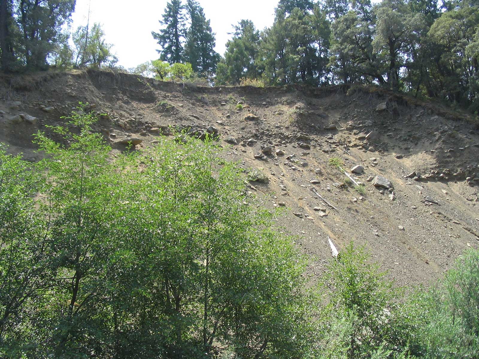
The steep, dissected terrain of the Angelo Reserve was sculpted as the Eel River cut down through these soft coastal sediments as they were tectonically uplifted. Tectonic coastal uplift rates exceed 4 mm y-1 near the mouth of the Eel, which is only about 50 km from the Mendocino triple junction offshore (Merritts and Bull, 1989). About a hundred miles south (upstream), the upper South Fork Eel watershed and the Angelo Reserve within it are uplifted less than 0.4 mm y-1. As tectonic uplift steepened the mouth of the Eel River relative to its headwaters, episodic waves of incision propagated upstream as nick points, or waterfalls, cutting steep, incised channels through the soft rocks. As the river cut down, it became canyon-bound, and abandoned former floodplains that now flank the channel as strath terraces (river floodplains cut into bedrock, then abandoned during river incision, colored yellow in the figure below) (Seidl and Dietrich 1992).
Sandstones are less abundant than soft marine argillites in the watershed, but these harder rocks play key roles in structuring channel environments, because they persist and accumulate as boulders and larger cobble bars within the channel. Unlike mudstones, which decompose rapidly on exposure to air (Rempe and Dietrich 2014), sandstone boulders persist on river bars and as midstream islands, moving only during large floods with low recurrence intervals (Seidl and Dietrich 1992). The Eel’s steep incised topography and soft geologic parent materials, in combination with intense winter storms, is naturally prone to erosion and landslides (Fuller et al., 2009) In addition, erosion in this fragile, steep basin was further exacerbated by 20th century logging, road construction, and other land use. The Eel now has one of the highest sediment yields per watershed area of any river in the conterminous 48 states– among the top ten worldwide (Brown and Ritter 1971, Lisle 1990).


Climate
Over the Holocene, the North Coast experienced three climatic periods: cool, with more continental seasonality 10,000-8,500 years bp; warmer and drier 8,500-3,000 years bp; and cooler and more moist during the last 3,000 years (Keter 1995, cited in Sugihara et al. 2006).
The region presently has Mediterranean seasonality, with cool wet winters and warm dry summers, with most precipitation falling as rain between October and April (Elford and McDonough 1964). Discharge extremes recorded for the South Fork Eel River at Branscomb (at the south (upstream) boundary of the Angelo Reserve) range from a minimum of 0.013 cu m/s (0.45 cfs) in August of 1977 to a maximum of 566 cu m/s (20,000 cfs) during the December 1955 flood (USGS 1969). The minimum recorded flow of Elder Creek (Aug.-Sept. 1997) was 0.011 cu m/s (0.39 cfs), and the maximum flow during the December 1964 flood was 104 cu m/s (3,660 cfs) was (USGS 1972).
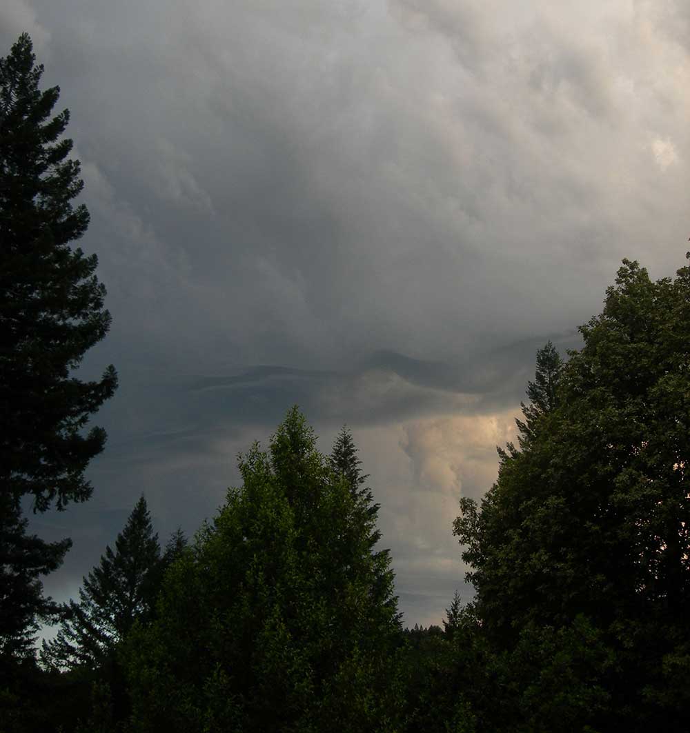
The climate of the Eel basin grows drier and hotter in summer from north to south, from west to east, and from high to low elevations, with fog ameliorating summer heat at the coast. In coastal watersheds that run east-west, like the Noyo or the Navarro, marine fog moves up the basin and supports moisture-loving plants like ferns and redwoods from throughout the watershed, from the river to the ridge. Along the north-south running rivers like the Eel, however, maritime fog can be blocked by higher portions of the coast range. The Angelo Reserve in the upper South Fork Eel River is blocked from maritime climate amelioration by a particularly high portion of the Coast Range to its west–Elkhorn Ridge. Consequently, Angelo has a more continental climate, with less fog, more extreme temperatures, drier summers, and more sunlit mainstem river reaches than might be expected for a site less than 15 km east of the Pacific Ocean. Average August high temperature is 31C (88F), and summer peak temperatures can exceed 38C (100F), while winter lows are typically below freezing. Johnson (1979) reports the following 30-year precipitation statistics collected from 1946-1976 by Heath Angelo at the confluence of Elder Creek with the mainstem South Fork Eel:

- Average annual precipitation: 215.6 centimeters (84.9 inches);
- Annual precipitation range: from a low of 53.95 inches in 1946-47 to a high of 136.40 inches in 1973-74;
Averages are misleading however, given Angelo’s rugged topography that creates heterogeneous microclimates. Elevation at the reserve ranges from 378 to 1,290 meters at Cahto Peak (1,240 to 4,232 ft). Cold air drainage down canyons sets up temperature inversions along and around channels that may extend the seasonal occurrence of late frosts (Johnson 1979) and have important consequences for the fate of air moisture and hydrologic cycling (Link et al. 2014).